


After Google Maps opened motorcycle navigation in Taiwan, now even the majority of cyclists can enjoy the exclusive navigation function, and the bicycle navigation function is officially enabled in the web and mobile versions. Continue reading Google Maps bicycle navigation is officially launched in Taiwan. How to use it? Read the article here.
Google Maps bicycle navigation is officially launched in Taiwan. How to use it here?
In fact, Google Maps has previously silently added exclusive bicycle/bike map information to the layer function.According to official informationAlthough this feature has already been enabled in 27 regions around the world, Taiwan is the first in Asia. It will be combined with the open data provided by the Ministry of Transport to provide bicycle-specific road information as the basis for navigation, and this function can already be found on the web and mobile versions.
The method of use is very simple, just like normal navigation. After setting the starting point and destination, you can find the bicycle tab button in the navigation options (in the iOS version, between pedestrians and flights). Press it to display distance and other related information and recommended routes:
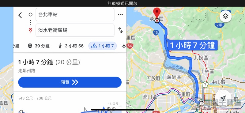
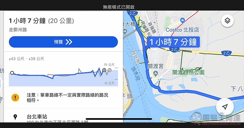
According to the actual testing of our Computer King Ada team, after activating this navigation function, you can see that the Google Maps bicycle navigation will indeed include the river embankment roads within the walking range – here, taking Taipei Station to Tamsui as an example, the route of the bicycle lane will be marked. What’s even better is that the climbing and downhill analysis ratio diagrams provided in pedestrian mode will also be displayed in bicycle navigation mode, which will allow people to preview the possible difficulty of this route, and people can set the pace in advance to avoid the danger of exhaustion: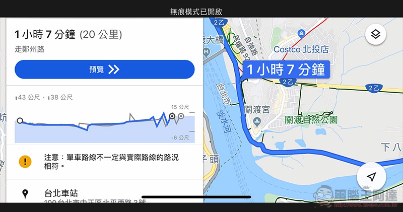
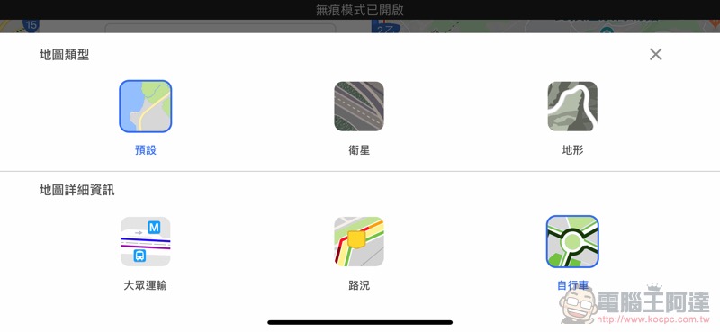
In addition to the navigation function, Google also provides a “bicycle” option in the map information layer, which will provide additional detailed information in addition to public transportation and automobile and motorcycle road conditions:
Conclusion
With Google Maps having exclusive navigation for cyclists, they can finally grasp more accurate travel time and other information without constantly switching between pedestrian and car navigation. It is also easier to find cycling routes that may not have been noticed in the past through this map service. Friends who use bicycles for transportation and exercise, please update and open Google Maps and give it a try!
Further reading:
iOS’s new CarKey appears in beta: Will iPhone and Apple Watch become vehicle sensing keys?

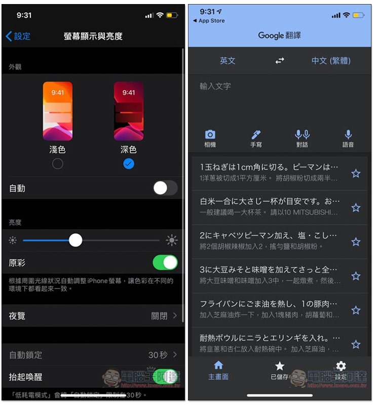
The Google Translate app for iOS finally has a dark mode! This article teaches you how to turn it on
Source: KOCPC Chinese