


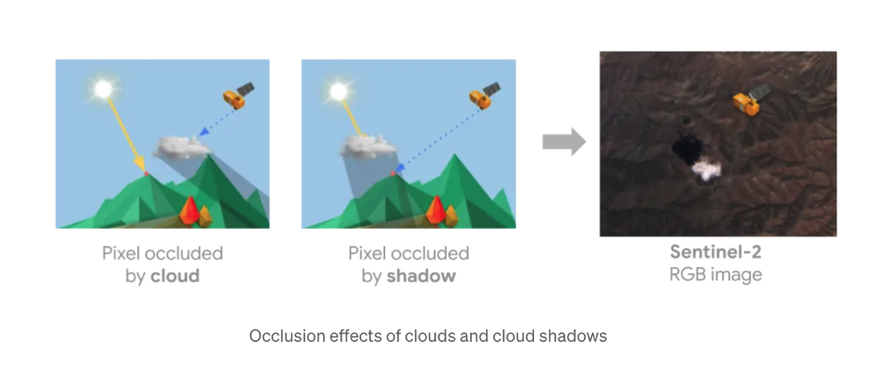
Google recently announced a Cloud Score+ AI model that should be called “real cloud technology.” What it is responsible for is to analyze satellite images used by Google Maps and Google Earth, and perform appropriate removal of clouds and shadows that obscure the landscape. Read on for more clarity! A new version of Google Maps satellite images with improved visibility through AI arrived this week.
▲Photo source of this article: Google
Clearer! Google Maps’ new version of satellite images with improved visibility through AI arrives this week
Although it seems that it is not too difficult for people on earth like us to encounter the so-called “cloudless” weather. But for satellite photos that can capture an ultra-wide range at one time, it is obviously a very troublesome thing to avoid obscuration (and shadows!) and blur caused by clouds, fog or even air pollution.
Google recently announced a Cloud Score+ AI model that should be called “real cloud technology.” What it is responsible for is to analyze the satellite images used by Google Maps and Google Earth, and perform appropriate removal of clouds and shadows that obscure the landscape – “appropriate” because it also has to identify ice and snow that may be on the ground, shadows of mountains, and other normal landscape features.
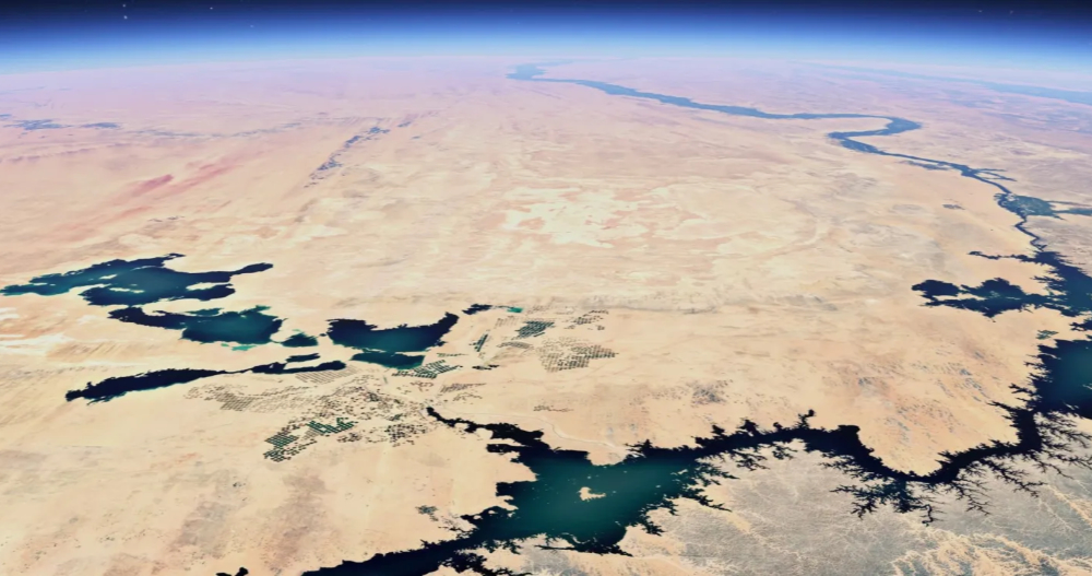
Of course, in addition to not randomly removing scenery that should not be removed, clarity and accuracy must also be ensured. Officials believe that through the processing of the Cloud Score+ model, a “brighter and more dynamic earth” landscape will be achieved. And it was announced that Google Earth’s historical satellite aerial photography has been extended to data pictures that can be traced back to 80 years ago – it should also be processed through the Cloud Score+ AI model, right?
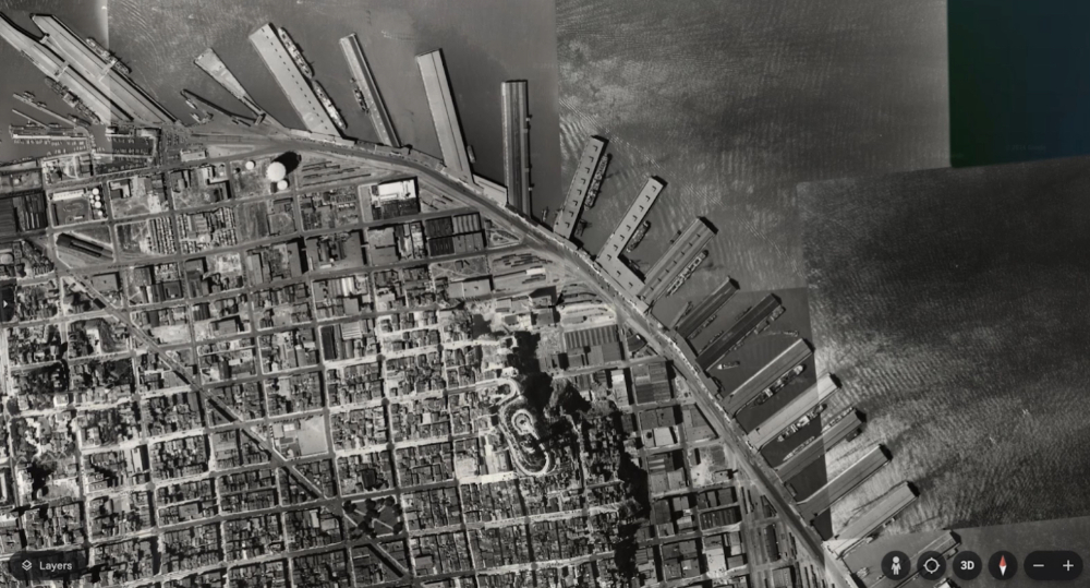
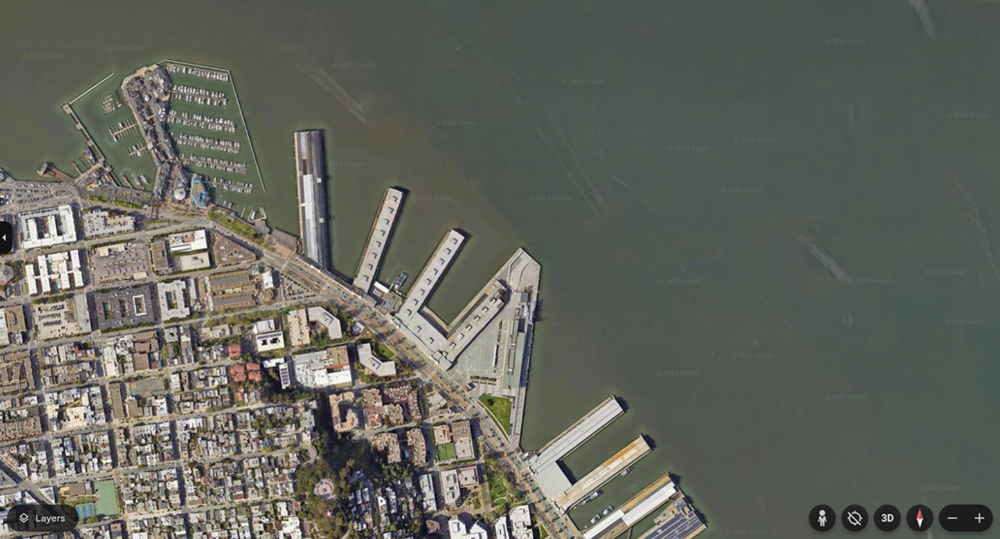
「…black-and-white photo of San Francisco in 1938, taken by Oakland Airport pilots. During this period, you can see that ports were mainly used for shipping and industry — compared to the 2022 image, where you see the piers dotted with restaurants and cruise ships docked in the harbor.(拍攝於 1938 年的舊金山的黑白照片,是由奧克蘭機場的飛行員所拍攝。在這個時期,您可以看到港口主要用於運輸和工業——與 2022 年的圖片相比,您會看到碼頭上點綴著餐廳和停泊在港口的遊輪。)」
Google also announced that Street View services will be expanded to Bosnia, Namibia, Liechtenstein and Paraguay; Street View images in Australia, Argentina, Brazil, Costa Rica, Denmark, France, Iceland, Japan, Mexico, New Zealand, Philippines, Rwanda, Serbia, Spain, South Africa, Switzerland and Uruguay will also be further expanded.
Quote sources:Google Keyword|Via:9to5Google|
Further reading:
Source: KOCPC Chinese