


It is a navigation assistance method that relies on external devices to find directions in special areas such as tunnels. Perhaps making better use of the various existing sensors in the device, coordinating with each other and eliminating various interferences that affect orientation can also enhance the performance of the navigation system to a considerable extent, making the phenomenon of being confused about the direction like a headless fly less likely to occur. Continue reading No more headless flies! Google Maps introduces the latest integrated FOP API report content that can better coordinate with mobile phone sensors.
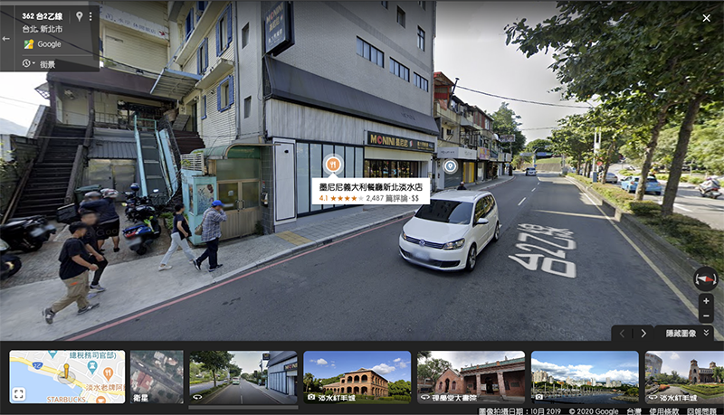
No more headless flies wandering around! Google Maps introduces the latest converged FOP API that better coordinates with mobile phone sensors
As opposed to relying on external devices to find directions in special areas such as tunnels (see more:Google Maps’ new setting gives you “Waze-level” stronger tunnel navigation) Perhaps making better use of the various existing sensors in the device, coordinating with each other and eliminating various interferences that affect orientation can also enhance the performance of the navigation system to a considerable extent, making the phenomenon of being confused about the direction like a headless fly less likely to occur.
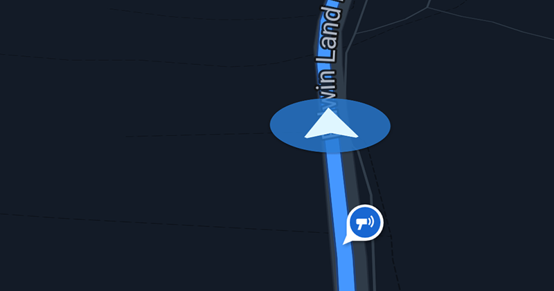
▲Image source: Ausdroid
Google has added a new Fused Orientation Provider API that developers can import for devices running Android 5 (Lollipop) and above that support Google Plays services. Friends who want to try it should be able to directly feel the difference on Google Maps. As for other applications, they will have to wait for developers to adopt them.

▲Image source: Google
This latest API, referred to as FOP, has the word “Fused” in it, so it is not difficult to understand how it works. It puts more emphasis on optimizing coordination from accelerometers, gyroscopes, magnetometers, and other additional information such as magnetic declination, and uses better algorithms to eliminate device pointing deviation problems caused by low-quality sensing hardware, interference/delay/deviation/uneven sampling within the device.
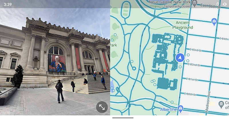
In short, compared to the previous Android Rotation Vector, the FOP API has been adopted first in the Android version of Google Maps. Theoretically, it is possible to better coordinate the differences and deviations in clocks and delays between the sensors on the synchronization device, and compensate for the information distortion that may be caused by fixed-strength magnetic materials (hard magnets) in the device. Integrate various software and hardware information to provide accurate estimates for mobile phone compass headings.
Since the design is similar to the previous API, it is currently expected that adoption will be more painless. The value provided by the FOP will be accessed by the App as a quaternion that can present the direction data. It can also provide the heading and accuracy data of the smart device – the heading is easy to understand, but I don’t know how the accuracy part will be displayed on Google Maps?
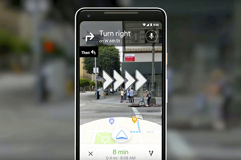
▲Image source: Google
The information published on the Android Developers Blog also mentioned that the direction information provided by FOP can only be obtained when the App is opened in the foreground. It was also mentioned that high-precision requirements may lead to a higher impact on battery life – after all, information will be accessed more frequently.
That is to say, the beginning of the corresponding article mentioned a wider range of uses that require reference to the device direction, including VR/AR and gesture detection, which should be the reason for the birth of the FOP API announced this time. The closest example, I personally think, is the AR navigation function of Google Maps. Maybe it will become more useful?
Further reading:
Source: KOCPC Chinese