


After acquiring Waze, Google Maps also incorporated a new feature that allows for more accurate navigation in tunnels. Continue reading the report on Google Maps’ new setting giving you “Waze-level” stronger tunnel navigation (and teaching you where to turn it on).
Google Maps’ new setting gives you “Waze-level” stronger tunnel navigation (teaches you where to turn it on)
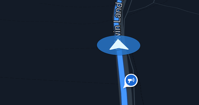
If you use navigation and other applications that rely on the GPS global positioning system, you will often encounter an unstable signal when entering a tunnel – especially when it comes to speed measurement applications that are closely related to your wallet (?), you will also hear prompts such as “No GPS signal in the tunnel.” I just hope you don’t feel at ease thinking that you can still estimate the distance in the tunnel and speed through (if you do this stupidly, the result will naturally be… silence).
▲Image source: Ausdroid
Although in the current Google Maps navigation experience, I always feel that they do a good job in estimating locations without GPS signals. But now it seems that after acquiring Waze (I heard it’s called “Waze” in Chinese, but the translation is actually pretty good!), Google Maps has also incorporated a new feature that allows for more accurate navigation in tunnels.

After Google acquired the Waze navigation app in 2013. In fact, many of Waze’s unique features that originally competed with other navigation applications, such as “speed camera” and “car accident” warning and reporting functions, have been integrated into the Google Maps service.
And now it seems that Waze has previously cooperated with many American cities to use “Beacons” Bluetooth devices in tunnels to help its navigation applications more accurately grasp relevant information including location, and the support has finally come to Google Maps.
In short, through the application that supports Beacons installed on the mobile phone, the navigation application will be able to obtain auxiliary information through “Bluetooth tunnel beacons” in long tunnels where the signal is originally insignificant. Not only can it provide navigation information, but it can also increase driving safety and provide more accurate information about travel routes.
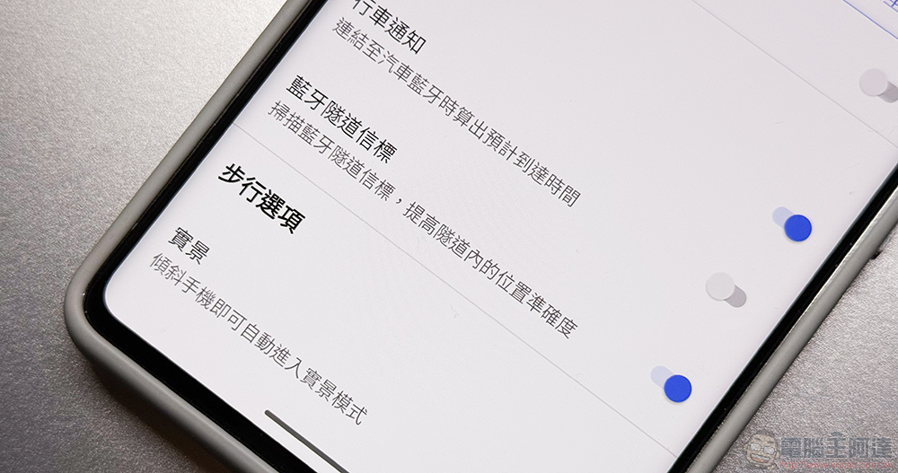
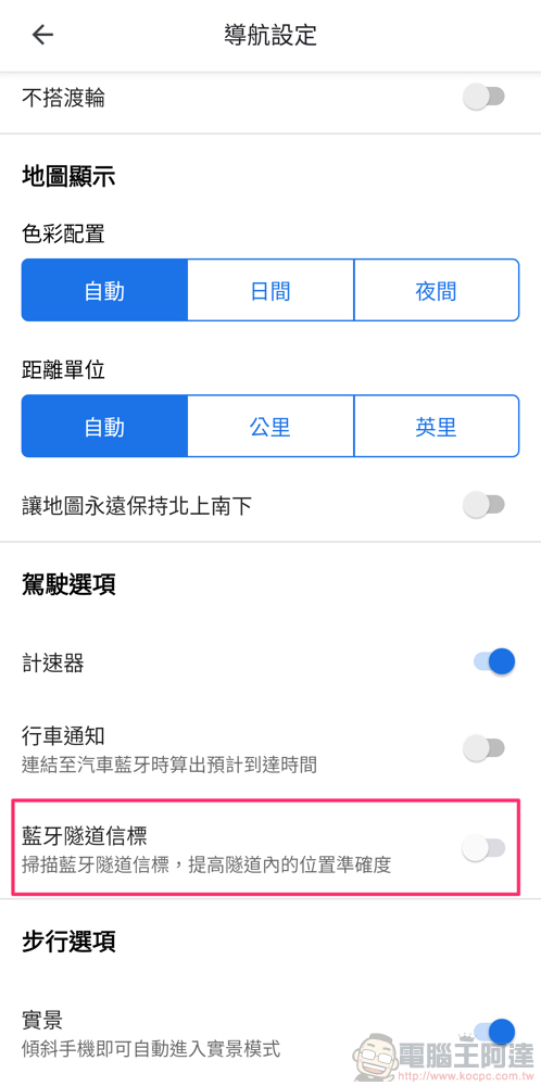
At this stage, computer king Ada also found this function in “Settings > Navigation Settings” in the Android version of Google Maps (the iOS version does not seem to be open yet – but the Waze app obviously has an iOS version XD). According to the description, this feature will allow Google Maps to “scan Bluetooth tunnel beacons to improve location accuracy within the tunnel” when passing through tunnels.

Unfortunately, as can be seen from Waze’s support page, the supported cities currently mentioned by this function are basically in the United States. However, I personally think that when Google Maps, which is loved by more people, is extended to include this support, maybe there will be opportunities for cooperation in other countries and regions outside the United States, right? Because I have such an optimistic attitude, I have taken this opportunity to turn on the function. I hope that one day Taiwan will really support it, and I can get better tunnel navigation support (I hope!).
Further reading:
Source: KOCPC Chinese