


Although it feels like it is a function created for one word “handsome and stupid” (clearly two words). However, you can use a more intuitive way to understand the characteristics of the geographical environment from different angles, which is indeed a great function. As the name suggests, it allows you to be more immersed, as if you were wearing Eagle Vision (have you played Assassin’s Creed? XD) using Google’s map service. Continue reading to take a look at the “Immersive View” function of Google Maps, which is like aerial photography.
▲Image source: Google
Let’s take a look at Google Maps’ “Immersive View” function, which is like aerial photography
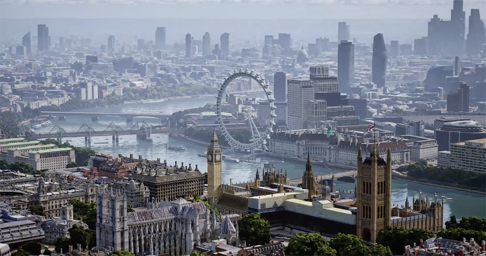
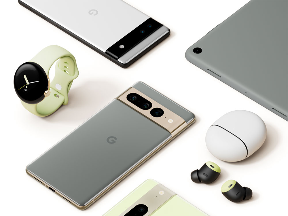
At this Google I/O, although a series of hardware debut previews were announced, it is exciting. But don’t forget that the main focus of this conference is on matters related to the system and developers. Yesterday, Google also announced for its signature map service that it will follow up with the “Immersive View” immersive viewing mode that depicts landscapes with a more detailed aerial-like effect – a viewing method that combines satellite photos and street view photos from the ground. In this article, let’s take a deeper look at what’s so great about it.
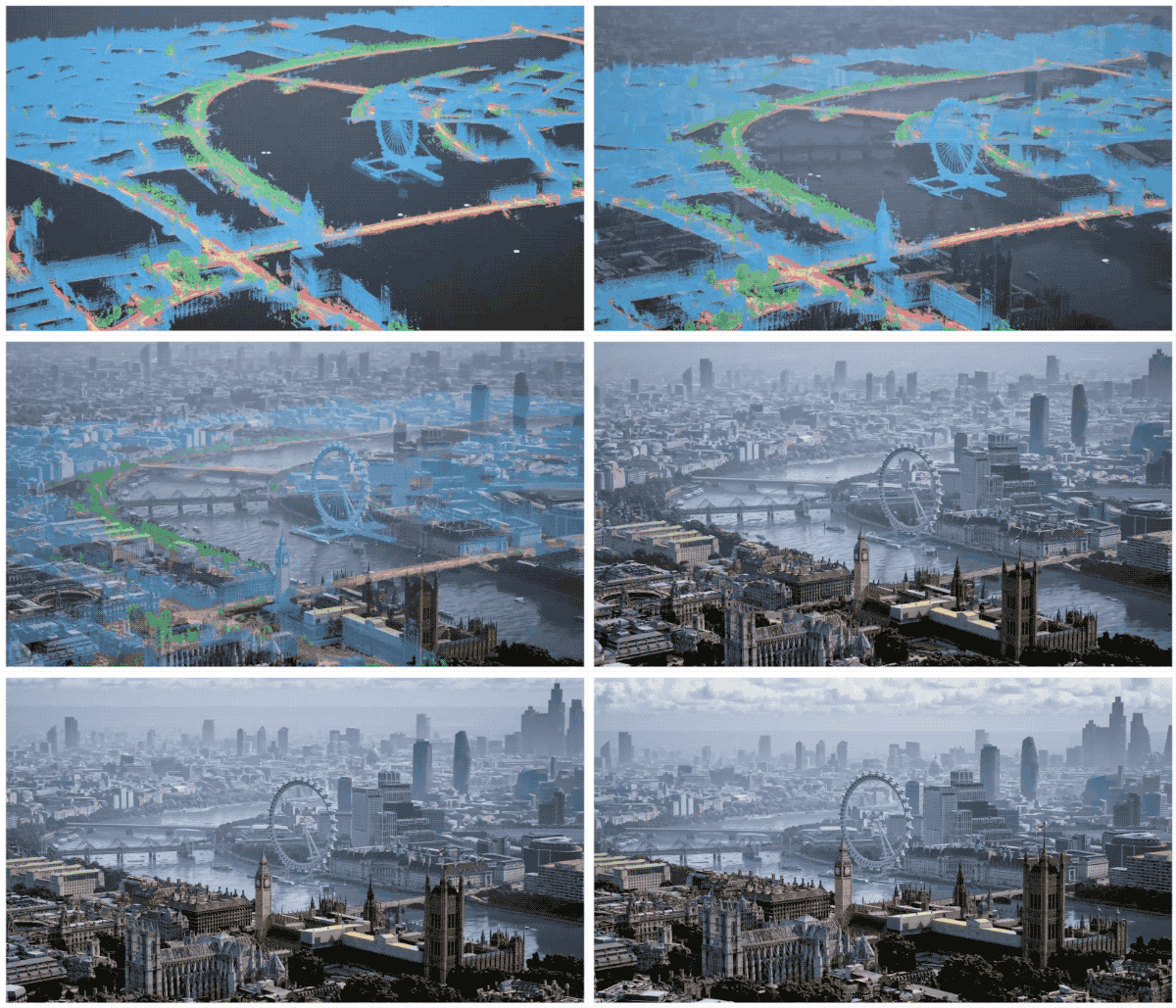
Even in terms of 3D landscape and street view functions, Google Maps is considered a pioneer. However, in recent years, many map services have also begun to create a map viewing perspective that is very close to a real bird’s-eye view, just like low-altitude aerial photography. At this I/O, the Google Maps service team also announced that it will begin to provide such new geographical scenery viewing angles in Los Angeles, New York, San Francisco, London and Tokyo. And supports Android and iOS versions of the Google Maps app.
After the news was released, the official also announced relevant details on the blog.
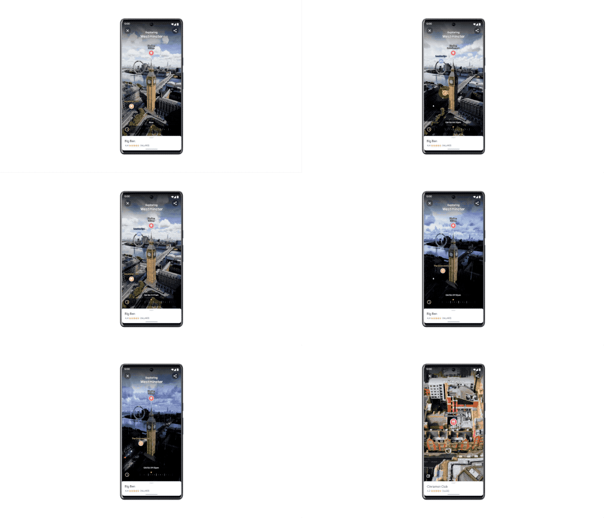
In fact, it is not so much that I hope to make it easier to grasp the surrounding conditions of the scenic spot, such as the height difference of the building, the details on the side, etc., or for the sake of immersion. But personally, I think it’s better to use this function from a “viewing” perspective – because the surround effect is really beautiful! There will also be light changes at different points in time, and it can even simulate the state of rainfall (then demonstrate how the pigeons fly in the video?).
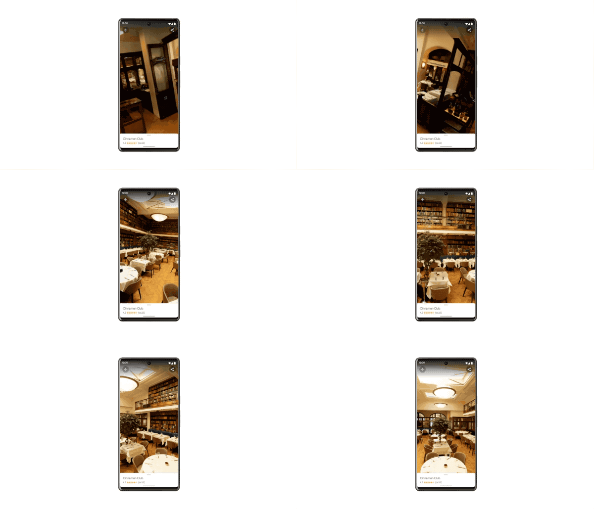
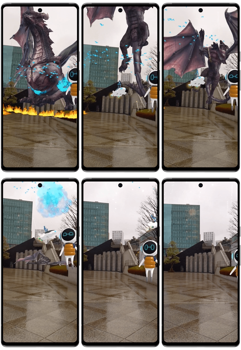
What’s even more cool is that this feature can also display images of indoor spaces in a way similar to an aerial shuttle – in fact, it is similar to the effect of many 360 videos. But it’s really clever to think of using the 360-degree view of Street View in this way! Google Maps will also provide this kind of 3D Street View experience to third-party developers in the future. Not only can this be used to find geographical attractions or parking facilities more quickly, but it can also provide AR applications similar to games. It has to be said that after the addition of these extended functions, Google Maps seems to have gradually surpassed everyone’s previous understanding of map services (so powerful).
More Google I/O 2022 related news:
Source: KOCPC Chinese