


In response to the global epidemic that remains high, Google Map launched “Crowding prediction” function can predict the crowding conditions of passengers on public transportation, allowing users to avoid being in crowded carriages. In response to the continued escalation of the epidemic in Taiwan, Google announced on its official website that it has launched the “Train Congestion Prediction” function in Taipei, becoming the third city in the world to implement this service after Sydney and New York.
What is the “train congestion prediction” function of Google Maps in Beijie? The following is an explanation:
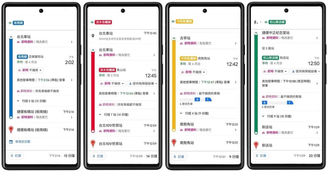
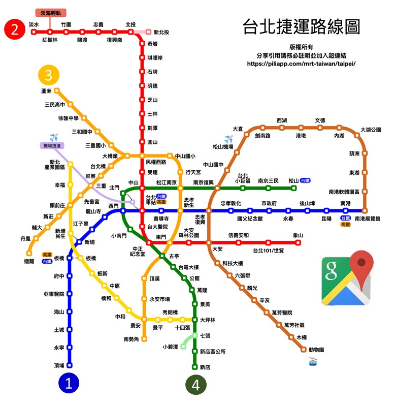
As the epidemic continues to escalate in Taiwan recently, for people who must take the MRT to move, whether the MRT is expected to be too crowded or knowing which carriage can maintain social distance has become useful epidemic prevention information. Google announced on its official Facebook fan page on April 25, 2022, that it would open real-time carriage congestion and train arrival information on Google Maps. The first wave of opening supports four major Taipei MRT lines, including the Bannan Line, Tamsui-Xinyi Line, Zhonghe-Xinlu Line, and Songshan-Xindian Line. Users can plan routes through Google Maps, which can display the congestion level of stations and even individual carriages, allowing users to decide on the frequency and carriage of the train.
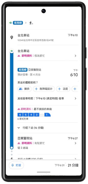
The new Google Maps will have a dashboard that displays carriage congestion levels on the four designated Taipei MRT routes. When users use Google Maps to plan routes, Google will provide “car congestion predictions”, allowing users to move to less crowded carriages when taking the MRT, making it easier to maintain social distance during the epidemic.
However, the Wenhu Line or the Circular Line, which have small carriages and are crowded during peak hours, are currently not among the supported routes. Google said it will continue to cooperate with Taipei MRT to expand the coverage of Google Maps’ real-time carriage congestion and extend the function to other routes so that all users can go to their destinations with more peace of mind.
Source: KOCPC Chinese