


Since Taiwan’s government announced a policy of opening up and getting closer to mountains and forests in 2019, the number of mountaineers has surged. However, many mountaineers still ignore the potential dangers of Taiwan’s tall mountains and forests, causing a surge in mountain disasters without making adequate mountaineering preparations, leaving rescuers exhausted. The Ministry of Interior recently called on its fan page: “If you are going to go mountain climbing, please be sure to spend 5 minutes and learn to use [offline maps]!”
Why is it important to download [offline maps] before hiking? What are the recommended offline maps for hiking? The following is a summary and explanation:
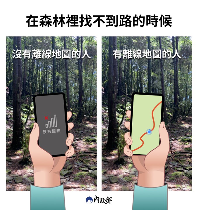
1. Why is it necessary to download “offline maps” when climbing?
Since the government opened up the policy of getting closer to the mountains and forests in 2019, Taiwan’s mountaineering population has surged, and the number of mountain disasters has also increased. According to statistics from the Fire Department, the main causes of mountain disasters in Taiwan are getting lost (38%), falling into valleys (11%), and late return (losing contact) (5%), ranking among the top three causes of separation accidents. Among them, Yushan, Xueshan and Pintian Mountains are the top three mountains with high risk of falling into valley accidents; for mountains with high risk of getting lost accidents, Garry Mountain, Hehuan Mountain and Yushan are the top three; for mountains with high risk of late return accidents, Garry Mountain, Nenggao Andongjun and Beidawu Mountain are the top three.
Although the Forest Service cooperates with major telecommunications operators to set up communication points and provide communication points on natural trails and mountain trails under the jurisdiction of various forest management offices,“Marking of mobile phone communication points in mountainous areas of the Forest Service”For inquiries by mountain friends (see “for details”This article“), but radio waves are easily affected by topography and landforms. In mountains thousands of meters above sea level or walking in steep and rugged valleys, it is quite normal for mobile phones to be unable to receive signals.
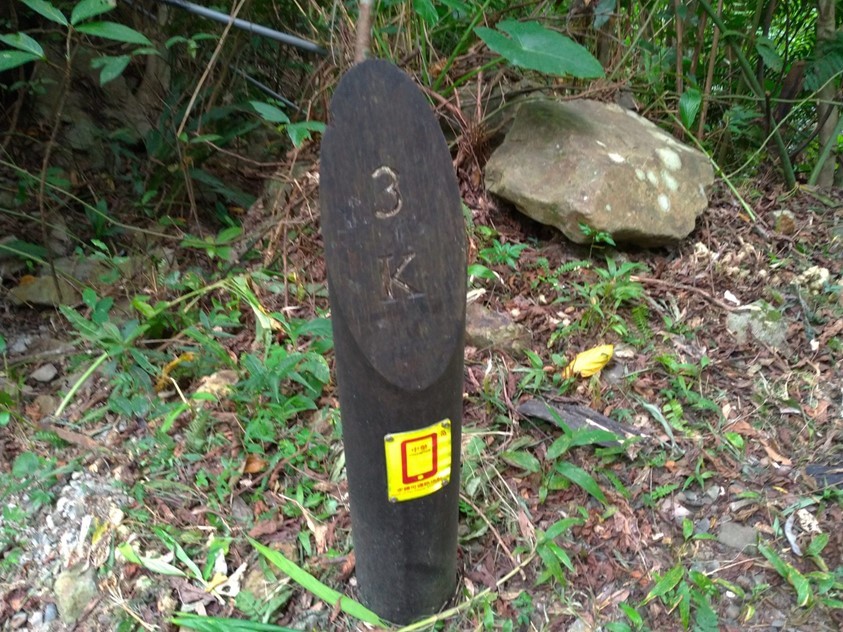
Due to the changeable terrain and climate on the mountain, and the presence of animal trails along the way, one may deviate from the climbing route and get lost if not careful, heading towards danger step by step. When the mobile phone cannot receive the signal, it cannot navigate online.“Offline Map” allows you to see your current location and follow the routes recorded by mountain friends to find the correct route without the Internet. It often becomes a “life-saving tool” to help you get out of trouble!

2. Recommended “Offline Map” for mountaineering and hiking:
What is “offline map”? “Offline map” means to first download and install the map data package. When the Internet is not available, use GPS positioning, browse zoom maps, display GPS tracks in real time (the so-called arrows follow people)… and so on.
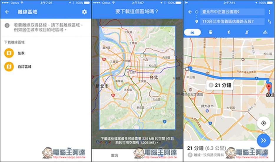
Currently the most well-known “offline map” is the built-in “offline map” function of Google Maps (see “This article“), but the map data package content of Google offline maps is mostly street view route maps of cities around the world, which is convenient for self-guided travel abroad. However, it is of limited use in mountainous areas with rare human settlements. You must download the “offline map” specially designed for mountain climbing in Taiwan.
There are currently many free “offline map” apps that can be used for mountaineering in Taiwan, including [HikingBook], [Hiking Notes], [Maps.me], [Windy], [Relive], [Green Field Travel], [Gaia]… and other apps. The following is an introduction to [HikingBook], [Hiking Notes], and [Maps.me]. For other mountaineering apps, please seek help from Google experts:
A.「HiKingbook」:
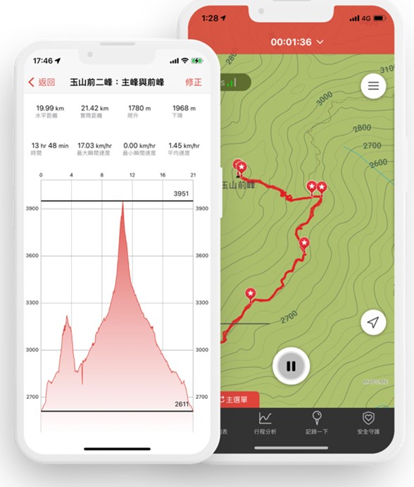
Zhonghua’s “Hikingbook” has a simple interface, making it clear whether it is planning before climbing or recording the itinerary after climbing. It also provides free offline maps. You can know your location at any time through GPS positioning.
“Hikingbook” allows novice mountaineers to plan their itinerary through the itinerary or routes on the “Explore” page, and intimately displays whether the current route is fully open.
For details on how to download and use “Hikingbook”, please see [here】。「iOS download point」、「Android download point」。
B. “Hiking Notes”:
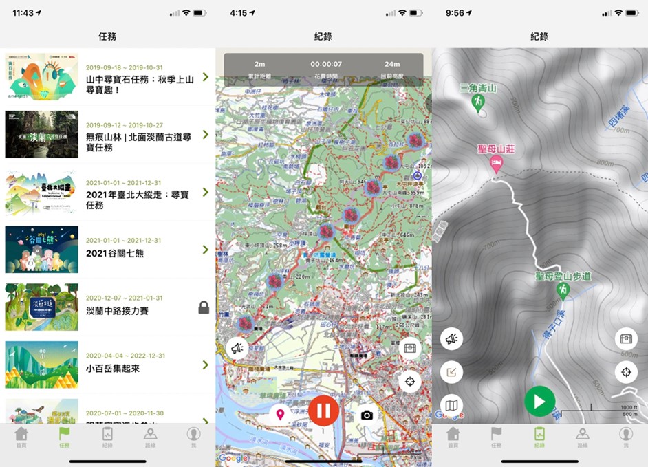
“Hiking Notes” is an app developed by the well-known sports information website ~Sports Notes. It has rich graphic information and a complete and diverse map selection, making it a popular choice for mountain hikers. “Hiking Notes” not only provides the editor’s selected routes for beginners to refer to and “mission unlocks” for veterans, but also allows you to download “offline maps” to your mobile phone in advance so that you can see “where you are currently” in places where there is no internet. For details on how to download and use “Hiking Notes Offline Map”, please see [here】。「iOS download point」、「Android download point」。
C.「MAP.ME」
“MAP.ME” can provide offline maps of countries around the world. It is a good choice for those who plan to go abroad to challenge travel or mountain climbing around the world.
To download and use “MAP.ME”, please refer to [here】。「iOS download point」、「Android download point」。

Source: KOCPC Chinese